Between June 2023 and March 2024, Guatemala went through one of the strongest El Niño events of the past decade. Rainfall fell roughly 20% below historical averages, and temperatures ran 1 °C above baseline. The result: 1.5 million Guatemalans needed emergency food assistance, according to the IUCN.
20%drop in annual rainfall in Guatemala during the 2023–24 El Niño. Average temperature: +1 °C above the historical baseline.
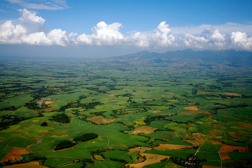
Along the Pacific corridor, where sugarcane, oil palm and staple grains are concentrated, irrigation schedules built on historical patterns fell short. Sugar mills that had contracted logistics eight months ahead found yields 12–18% below projections.
The shift to La Niña: the opposite problem
The irony of Guatemala’s climate cycle is its destructive symmetry. The shift toward La Niña in late 2024 brought the reverse problem: excess moisture, fungal disease pressure and delayed harvest windows. By early 2025, 2.9 million Guatemalans faced food insecurity, according to the USDA Foreign Agricultural Service.
The operational problem isn’t the weather event itself. It’s that yield estimates have no way to factor in weather deviations in real time and project their impact before it shows up in the field.
The lead time that changes everything
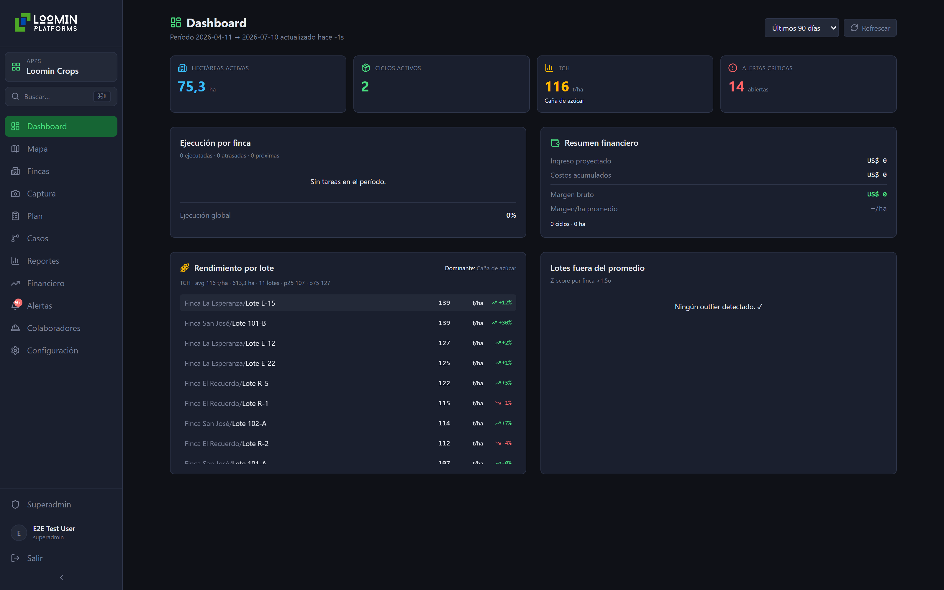
Models that combine historical weather series with the 16-day forecast, calibrated to how each plot responds, can issue revised yield projections 4 to 6 weeks before the deviation becomes visible in the field.
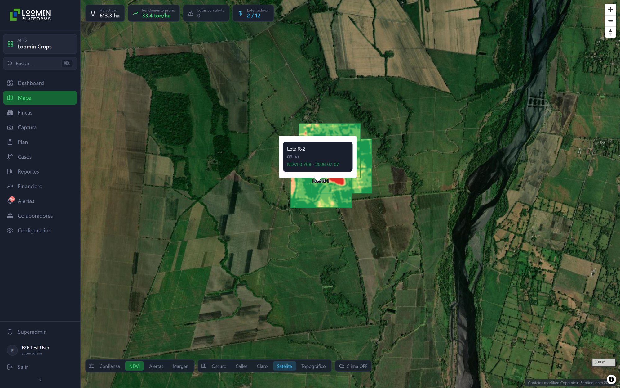
For a 500-hectare operation, that’s the difference between adjusting irrigation spend in time and absorbing the loss after harvest. A satellite detects stress once it has already set in. A model that cross-references the satellite signal with the rainfall forecast and the plot’s known historical response can see it coming.
El Niño and La Niña aren’t anomalies in Guatemala. They are the system. The question isn’t whether they’ll happen, but how far in advance your decisions account for them.